The Presidentials and the end of the Whites
11/7/12
1850.0
Lakes of the clouds hut
Today I walked most of the ridgeline for the presidential range, a bunch of mountains named after presidents. It was pretty amazing as the second half was all alpine zone so you could see everything.
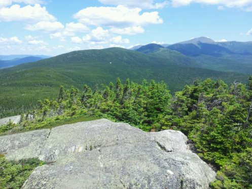
From Mt Webster. Mt Washington is the tallest peak on the horizon.
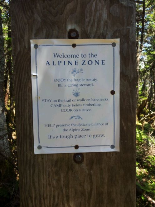

From Mt Eisenhower
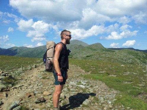
Me eating Mt Washington from Mt Franklin.
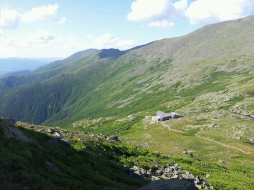
Lakes of the Clouds Hut, while climbing Mt Monroe.
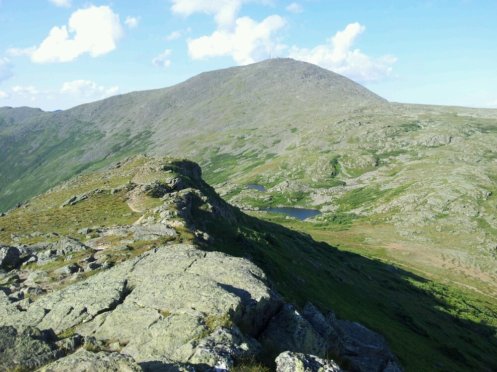
The Lakes of the Clouds, with Mt Washington in the background.
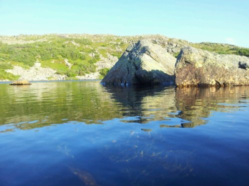
The lake from close up.
12/7/12
1860.0
Osgood tent site
Today was a very slow day. I got left behind by Veggie and Philly Ben. I may be taking my time a little too much now. But I’m still really tired, and sunburnt for the for time on the trail. Two days hiking through alpine terrain will do that to you!
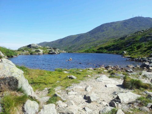
Mt Washington this morning.
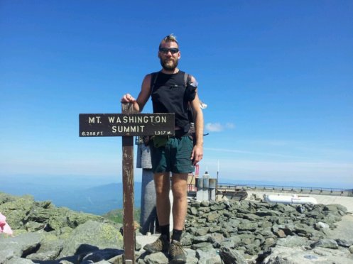
About half an hour later. This mountain has the highest recorded wind speed in the world – 231mph
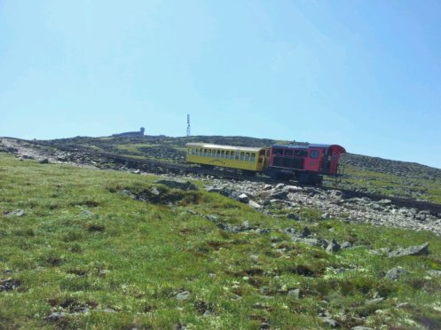
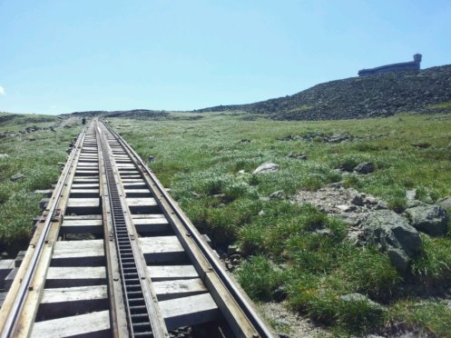
The cog train that goes up the Mt Washington. It used to be a thru hiker tradition to moon it as it went past. I settled with waving back to the kids in the train.
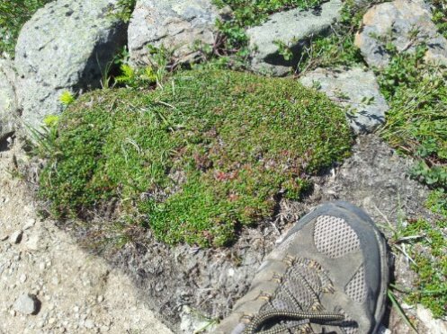
An alpine plant. This one is about 100 years old.
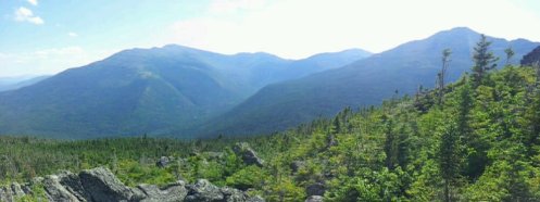
A few hours later. This is the ridgeline I walked from Mt Washington on the left. And that’s only 7 miles or so! It’s a novelty being able to see where I came from. The haze is from pollution.
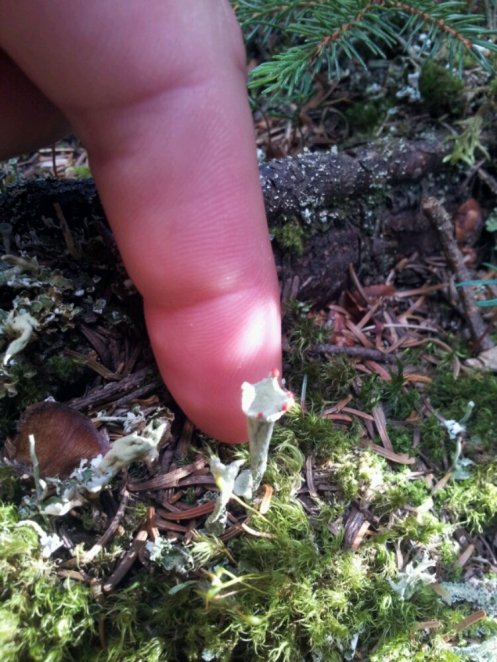
Look at it! Cool eh? I have no idea what it is.
13/7/12
1871.9
Carter Dome (4832ft)
Last night I slept for about 11.5 hours. I guess I must have needed it because I felt much better today. So I caught up with Stinger, Red Man and Motown on top of Wildcat Mountain Peak D (yeah there’s a peak A,B and C) so I hiked with them for the rest of the day and did another short one. I feel sad now that the whites are over, but maybe now I’ll feel better about doing big mile days. I need to resupply tomorrow in Gorham and I still need to buy a plane ticket out of Maine. I’ve really left it too late already. It turns out getting a sky diving license isn’t as cheap as J-Bone reckoned it was, so I’m going to Yellowstone National Park instead. Whitewater gave me some tips on what to see as he lived there for 5 years. The only thing I need to figure out is whether to rent a car or take buses. Here’s some pictures of stuff:
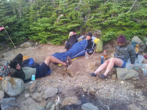
From left to right: Red Man, Stinger and Motown
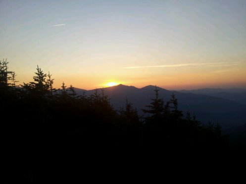
Tonight’s sunset
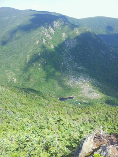
Those buildings don’t look all that safe, do they?
Great stories and photos again Joel!
Reblogged this on allaboutwordswa and commented:
Appalachian Trail – I couldn’t resist reblogging my son’s blog today. He started walking the Trail at Springer Mountain in Georgia and is now getting close to the end of the it – having walked over 1800 miles thus far. It is great following his journey from here in Australia 🙂
You’re getting good at this blogging stuff Joel, when you’ve finished the AT I get the feeling you won’t be able to stop walking – Forrest Gump style 🙂
Funny you should say that, after Katahdin I’m going straight to yellowstone to walk around there